UNIVERSITY OF HILDESHEIM
Institute for Computer Science, Research Group Data Science
DATA & FACTS
Project
2022-2026
Scientific contact
Leibniz-Institut zur Analyse des Biodiversitätswandels
EU-Funding line
Horizon Europe
Projektleitung: Prof. Dr.-Ing. Arno Kwade
Projektname: „Li-Ion Pilot Lines Network“ (LiPLANET)
Keywords: Energie, Mobilität, Partner
AI-based solutions for monitoring biodiversity in agriculture
The goal of the BioMonitor4CAP project is to design, implement, and evaluate advanced biodiversity monitoring systems to measure biodiversity in the field. In particular, it aims to monitor different biodiversity features and their changes over time and space. The resulting insights will support the implementation of results-based policies in the European agricultural landscapes. The systems will be tested, calibrated and demonstrated in five European regions. The project will also combine and compare classical indicator systems with new systems based on cutting-edge technologies, including AI-based computer vision and sound analysis techniques.
The project is funded for four years (2022 – 2026) by the Horizon Europe program. It involves 23 partners in 10 European countries and Peru. The partners form a multi-disciplinary team comprising ecologists, agronomists, ornithologists, entomologists, soil scientists, biochemists, geo-spatial data experts, acoustic data experts, data scientists, social scientist and economists, and conservationists.
As a participant in the project, the research group “Data Science” at the University of Hildesheim develops AI-based technologies for biodiversity monitoring. In particular, we aim to use computer vision technologies to assess relevant biodiversity indicators from drone or satellite imagery and machine learning models to correlate information extracted from image data with other ground-based indicators. For example, remote sensing imagery can be used to infer landscape variability, which in turn can be correlated with species occurrence and other biodiversity indicators. Drone-based images can cover medium-size areas with high resolution, and computer vision analysis can help in identifying or counting species or structural landscape elements more efficiently than traditional, manual methods on the ground. Satellite data can even cover very large areas, and is available at regular time intervals. In this way, the development of biodiversity indicators over space and time can be tracked and better understood.

©BioMonitor4CAP
Date:
2024
Das könnte Sie auch interessieren …
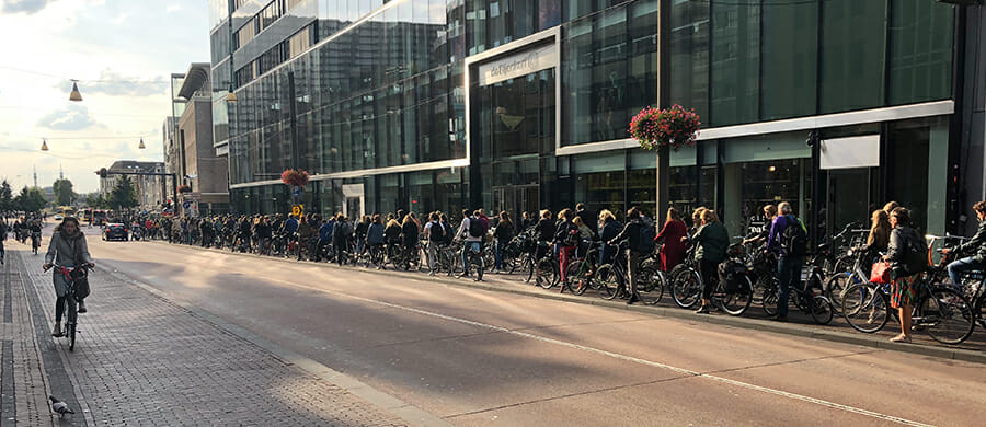
Projekt: BITS – BICyCLES and its
Bicycles and ITS (BITS) ist ein neues Projekt zum Thema Fahrrad und ITS (intelligente Transportsysteme), das darauf abzielt, die CO2-Emissionen um 9 % zu senken und die Fahrradnutzung in den Zielgruppen um 10 % zu steigern! Eine Verlagerung des Verkehrs auf umweltfreundliche Verkehrsmittel ist dringend erforderlich, da Verkehrsstaus, …
ProjeKt: decades
Die chemische Industrie steht derzeit vor der herausfordernden Transformation, klassische, auf Erdöl basierende Herstellungsprozesse von Chemikalien durch nachhaltige, biobasierte Produkte im Sinne einer zirkulären Bioökonomie zu ersetzen. Insbesondere Lösungsmittel spielen in der chemischen Industrie entlang der gesamten Produktionskette eine…